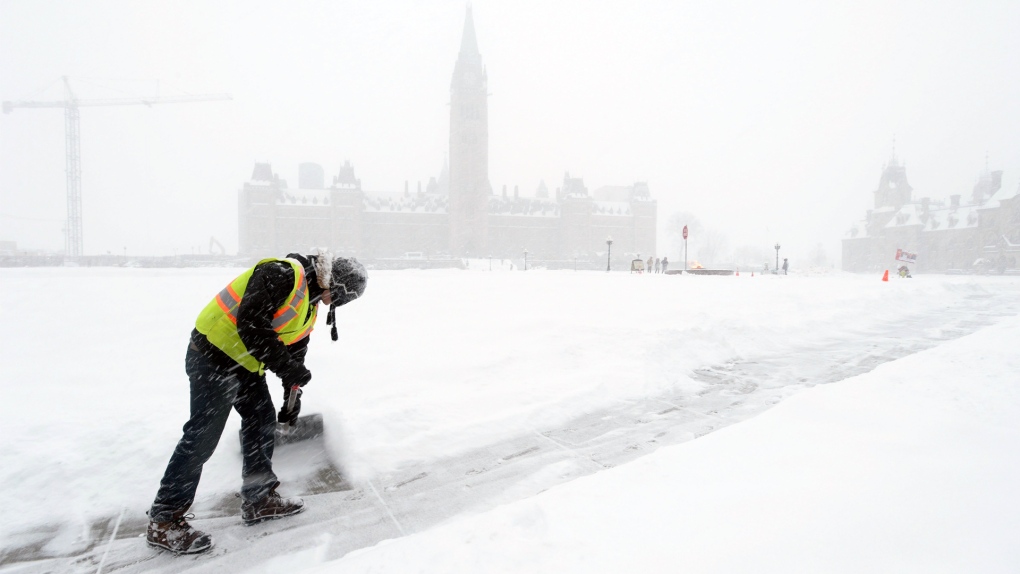
People in Ottawa are digging out Friday after a mix of snow and ice pellets hit the capital overnight.
A winter weather travel advisory remains in effect and the snow storm is expected to continue into the afternoon.
Environment Canada is calling for an additional 5 centimetres of snow on Friday before the storm tapers off.
The mix of snow and ice pellets will impact travel throughout the day.
“Be prepared to adjust your driving to changing road conditions,” Environment Canada said in a statement.
“Surfaces such as highways, roads, walkways and parking lots may become icy and slippery.”
A winter weather travel advisory is also in effect in Smiths Falls and Prescott and Russell. Freezing rain warnings are in effect for Brockville, Cornwall, Kingston and South Frontenac.
Temperatures in Ottawa will fall to -7 C this afternoon and the wind chill will make it feel more like -14.
Skies will clear by this evening and the overnight low will be -16 C (-22 with the wind chill).
It will be a warmer start to the weekend. Saturday’s forecast calls for a mix of sun and cloud and a high of -1 C. The wind chill will make it feel more like -19 in the morning and more like -6 in the afternoon.
Expect cloudy skies with a 40 per cent chance of flurries Saturday evening.
On Sunday – cloudy skies and a high of 3 C.